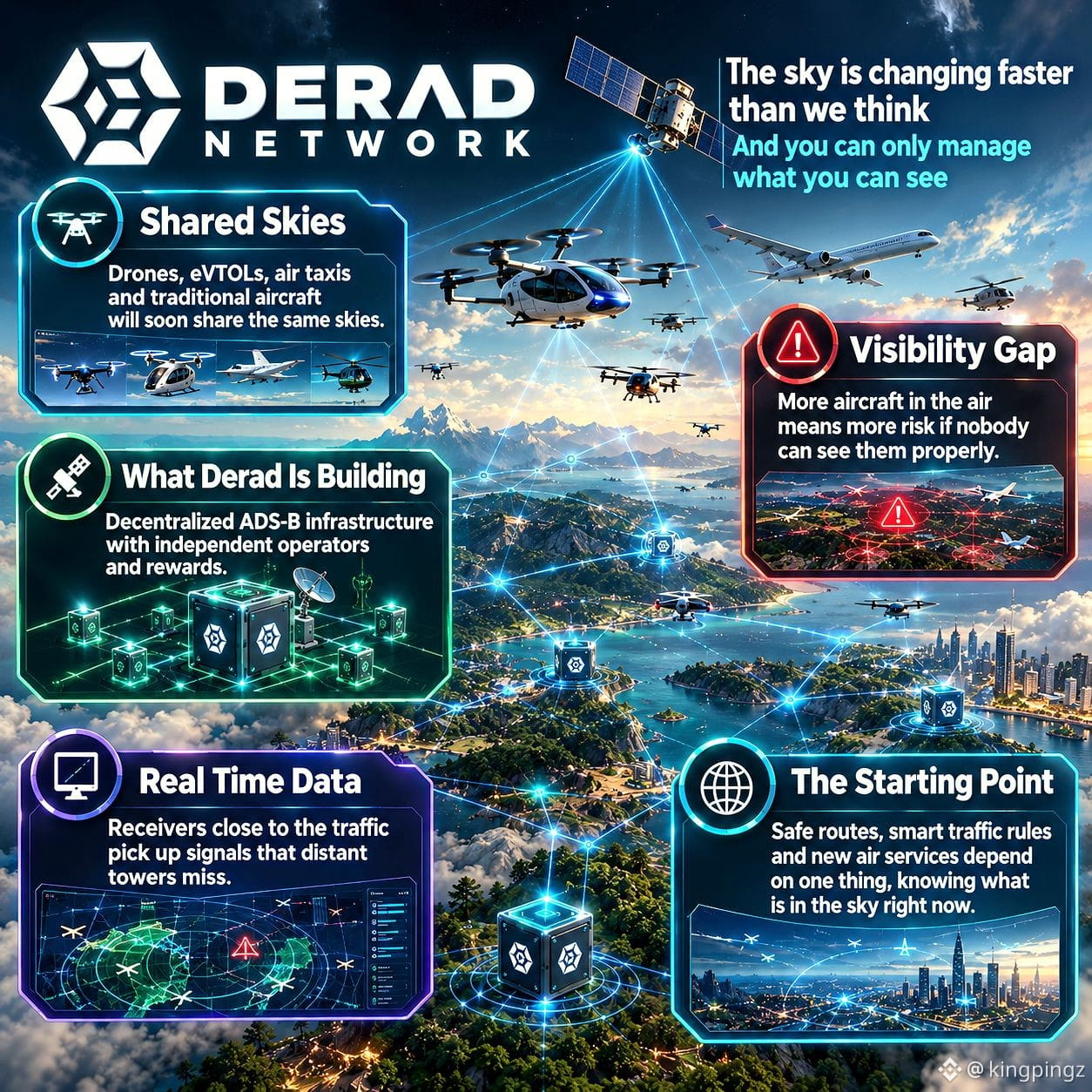
🌫 "𝗧𝗵𝗲 𝘀𝗸𝘆 𝗶𝘀 𝗰𝗵𝗮𝗻𝗴𝗶𝗻𝗴 𝗳𝗮𝘀𝘁𝗲𝗿 𝘁𝗵𝗮𝗻 𝘄𝗲 𝘁𝗵𝗶𝗻𝗸, 𝗔𝗻𝗱 𝘆𝗼𝘂 𝗰𝗮𝗻 𝗼𝗻𝗹𝘆 𝗺𝗮𝗻𝗮𝗴𝗲 𝘄𝗵𝗮𝘁 𝘆𝗼𝘂 𝗰𝗮𝗻 𝘀𝗲𝗲" 🌫
Let's dive into the Derad's network insights below.👇
✈️ 𝗦𝗵𝗮𝗿𝗲𝗱 𝗦𝗸𝗶𝗲𝘀
Drones, eVTOLs, air taxis and traditional aircraft will soon share the same skies. Airspace that once belonged to a few commercial flights is becoming a fast moving mix of very different vehicles with very different needs.
📡 𝗩𝗶𝘀𝗶𝗯𝗶𝗹𝗶𝘁𝘆 𝗚𝗮𝗽
More aircraft in the air means more risk if nobody can see them properly. Low altitude zones and remote regions already have patchy coverage, and a busier sky will only make those weak spots harder to ignore.
🛰️ 𝗪𝗵𝗮𝘁 𝗗𝗲𝗿𝗮𝗱 𝗜𝘀 𝗕𝘂𝗶𝗹𝗱𝗶𝗻𝗴
Derad Network is building decentralized ADS-B infrastructure. Instead of relying on volunteers, independent operators run ground stations and earn rewards for solid coverage, which keeps aircraft signals flowing into one shared network.
🖥️ 𝗥𝗲𝗮𝗹 𝗧𝗶𝗺𝗲 𝗗𝗮𝘁𝗮
Receivers placed close to the traffic pick up signals that distant towers miss. That means real time data from the low and crowded parts of the sky, which is exactly where drones and air taxis will operate.
🌐 𝗧𝗵𝗲 𝗦𝘁𝗮𝗿𝘁𝗶𝗻𝗴 𝗣𝗼𝗶𝗻𝘁
Safe routes, smart traffic rules and new air services all depend on one simple thing, knowing what is in the sky right now. The future of airspace starts there, and Derad is building the foundation for it.
#AI #DePIN #Web3